Spatiotemporal Analytics, Forecasting & Estimation of Risks from Climate Change Systems
We specialise in the development of data-driven methods for forecasting and estimation of risks associated with hazards where geology and weather interact.
A key area of expertise that informs our research on risk assessment is that of early prediction of failure in complex materials and structures — in particular, soil and rock bodies.
We achieve this by extracting hidden patterns on “dynamics” (the time evolution) of trigger events and motions in the nascent, precursory stages of failure – from data. Our platform comprises an amalgam of complex network analytics and AI techniques which can detect emerging order, relationships and subtle regime changes from an optimal subset of failure features. Initially, these features are highly disordered, but as failure approaches, the system partitions into subregions each exhibiting distinct dynamics.
Our capability to decode data, by mapping them to complex networks or a relevant feature state space, is what allows us to extract reliable indicators of where and when failure will likely occur.
A deep knowledge of the fundamental origins of failure at the microstructure level – combined with our analytics tools designed specifically for complex systems – makes our platform for early prediction of failure unique. From this, we can extract actionable intelligence on the future course of failure – irrespective of system size and material microstructure.

We have demonstrated success in predicting failure from laboratory samples, in millimetres, to the field scale of kilometres in some of the most complex of composite materials on Earth.
Professor Antoinette Tordesillas
Latest news
-
Granular Matter webinar series
Professor Antoinette Tordesillas delivered a webinar for the Granular Matter Journal. See the webinar below
-
Discovering optimally representative dynamical locations (ORDL) in big multivariate spatiotemporal data: a case study of precipitation in Australia from space to ground sensors
New paper led by Ben Hines points to dynamics and locations of extreme on precipitation events in the Australian continent, using data from BoM’s rain gauge network and multiplatform JAXA-NOAA remote sensing. Read article here.
-
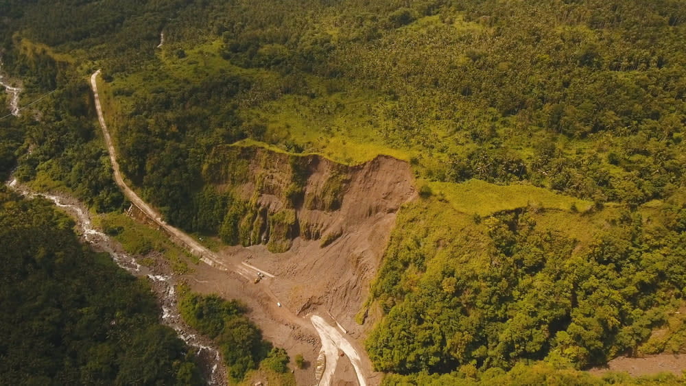
Forecasting landslides from space
A new data-driven tool uses satellites to accurately predict devastating natural disasters before they occur – locating potential land failures to protect at-risk communities. Read the story on Pursuit.